24% OFF
FPV
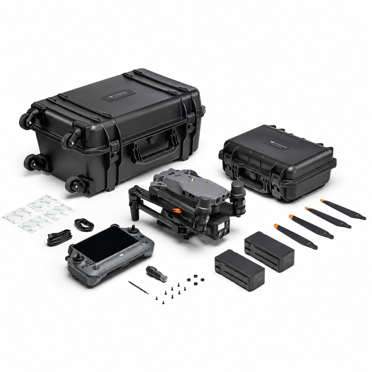
Full specifications, what's in the box & FAQs
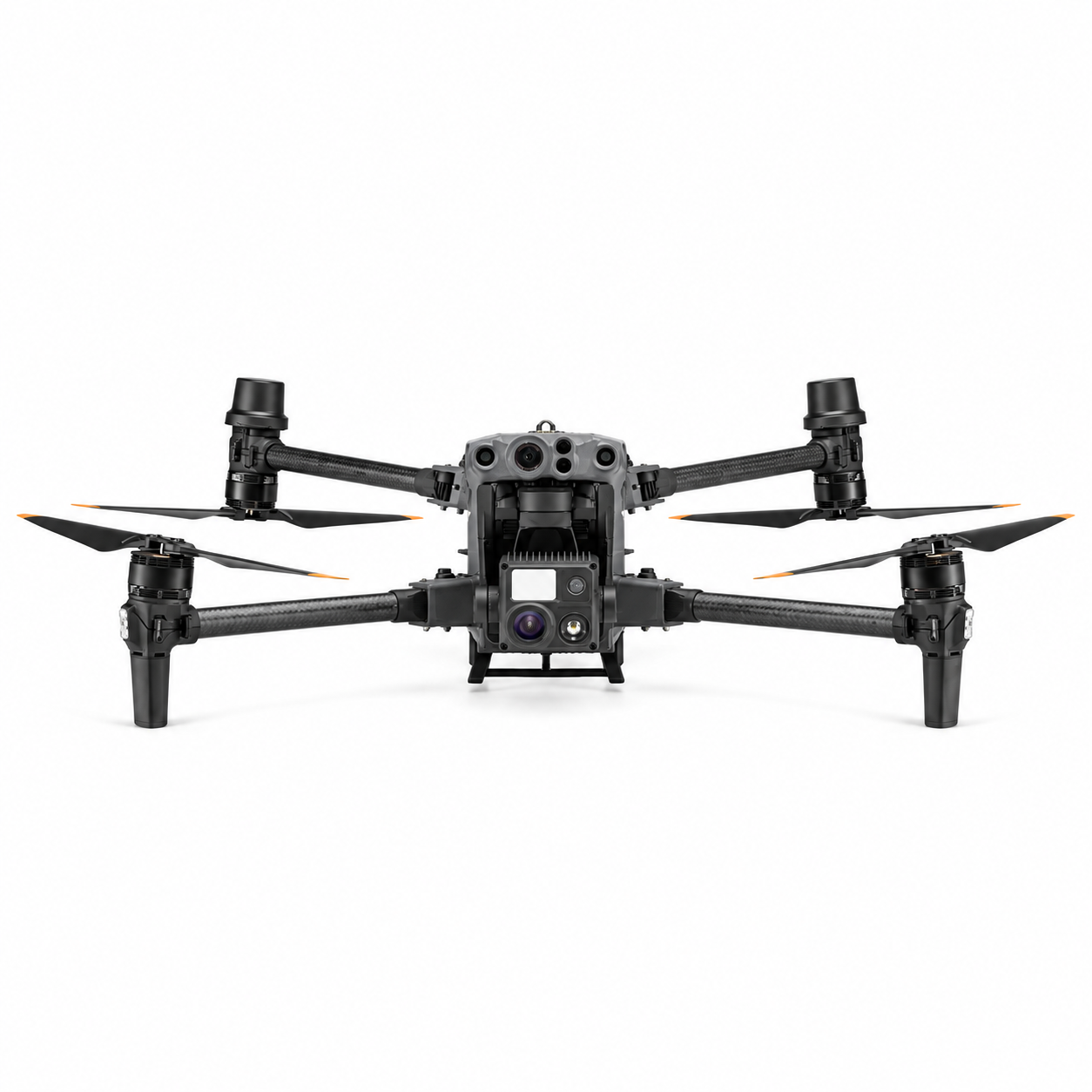
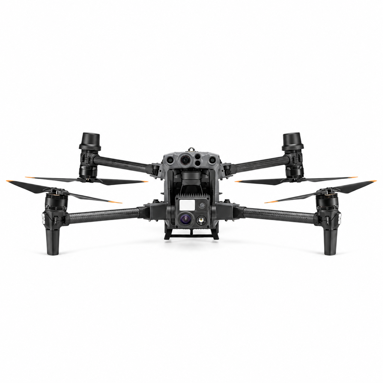
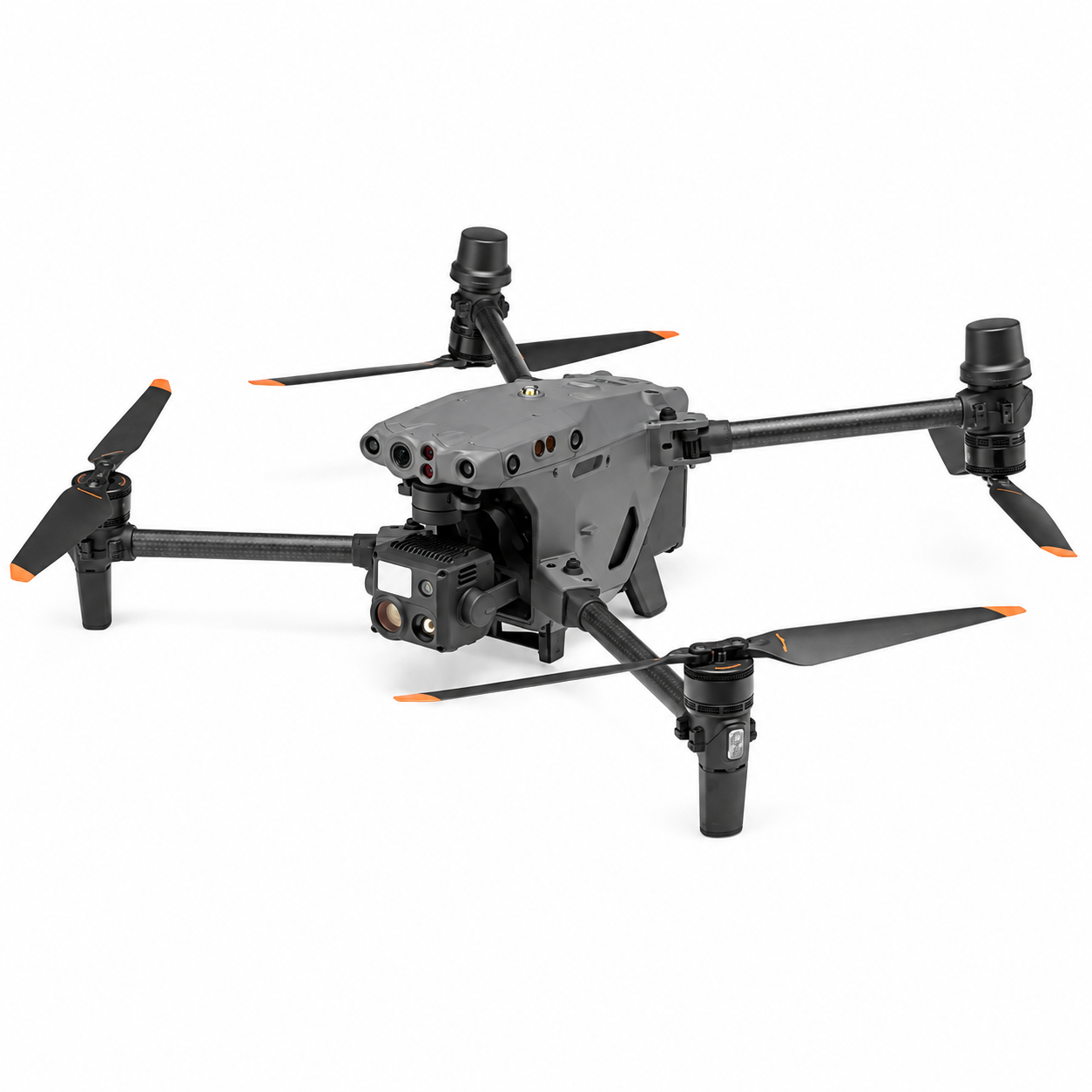
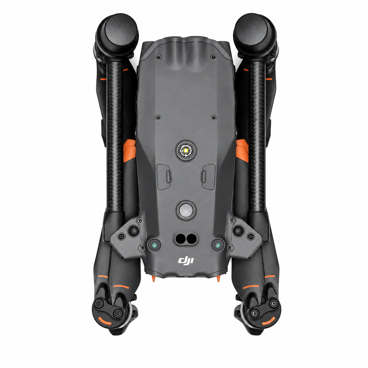
The DJI Matrice M30T is a rugged, all-in-one enterprise drone built for professionals who need reliable performance in the field, whether that’s inspecting infrastructure, mapping large sites, or supporting search-and-rescue operations. Priced at ₹915,999 (inclusive of GST), down from ₹1,200,000, it packs an integrated payload of zoom, wide, and thermal cameras alongside a laser rangefinder into a single, foldable airframe that fits into a backpack-sized case yet unfolds to a full-featured commercial-grade platform.
At its core, the M30T is designed for speed and endurance. It delivers up to 41 minutes of flight time, a top speed of 23 m/s, and wind resistance up to 12 m/s, so operators can complete more coverage per battery cycle even in challenging conditions. With an IP55 ingress protection rating and an operating range of -20°C to 50°C, it is built to withstand rain, dust, and temperature extremes that would ground lesser drones. Its self-heating TB30 batteries, paired with the optional BS30 charging station, bring two batteries from empty to full in roughly 50 minutes, minimising downtime between missions.
The onboard imaging suite is where the M30T truly stands apart. The 48MP zoom camera and 12MP wide camera capture crisp detail from a distance, while the integrated thermal camera (up to 1280×1024 super-resolution) enables night operations, thermal inspections, and search-and-rescue missions. A laser rangefinder with a range of up to 1200 m adds precise distance and coordinate data to every capture, which is invaluable for surveying and asset geolocation. Omnidirectional obstacle sensing, including infrared detection from 0.1 to 38 m, keeps the aircraft safe around structures, towers, and dense terrain.
Connectivity is equally robust. Powered by DJI’s O3 Enterprise transmission system, the M30T maintains a stable link with the 7.02-inch touchscreen remote controller over distances of up to 15 km (FCC), while GPS, Galileo, BeiDou, and optional RTK support deliver centimetre-level positioning accuracy for demanding survey and mapping work. The 3-axis gimbal keeps footage stable even during fast manoeuvres or gusty conditions, ensuring every frame is usable.
Whether you’re managing a fleet for utility inspections, running emergency response operations, or scaling up a surveying business, the DJI Matrice M30T offers a dependable, ready-to-deploy platform that reduces the need for multiple specialised drones — helping teams do more in less time, with fewer trips back to base.
| Specification | Details |
|---|---|
| Dimensions (Unfolded, excl. propellers) | 470×585×215 mm (L×W×H) |
| Dimensions (Folded) | 365×215×195 mm (L×W×H) |
| Diagonal Wheelbase | 668 mm |
| Weight (incl. two batteries) | 3770 ± 10 g |
| Max Takeoff Weight | 4069 g |
| Operation Frequency | 2.4000–2.4835 GHz; 5.725–5.850 GHz |
| Transmitter Power (EIRP) | 2.4 GHz: <33 dBm (FCC); <20 dBm (CE/SRRC/MIC) 5.8 GHz: <33 dBm (FCC/SRRC); <14 dBm (CE) |
| Hovering Accuracy (Windless/Breezy) | Vertical: ±0.1 m (Vision); ±0.5 m (GPS); ±0.1 m (RTK) Horizontal: ±0.3 m (Vision); ±1.5 m (GPS); ±0.1 m (RTK) |
| RTK Positioning Accuracy (Fixed RTK) | Horizontal: 1 cm + 1 ppm Vertical: 1.5 cm + 1 ppm |
| Max Angular Velocity | Pitch: 150°/sec Yaw: 100°/sec |
| Ingress Protection Rating | IP55 |
| Operating Temperature Range | -20° to 50° C (-4° to 122° F) |
| Class (EU) | C2 |
No customer reviews yet. Be the first to review this product.
We are here to help you with any question.