9% OFF
FPV
Full specifications, what's in the box & FAQs
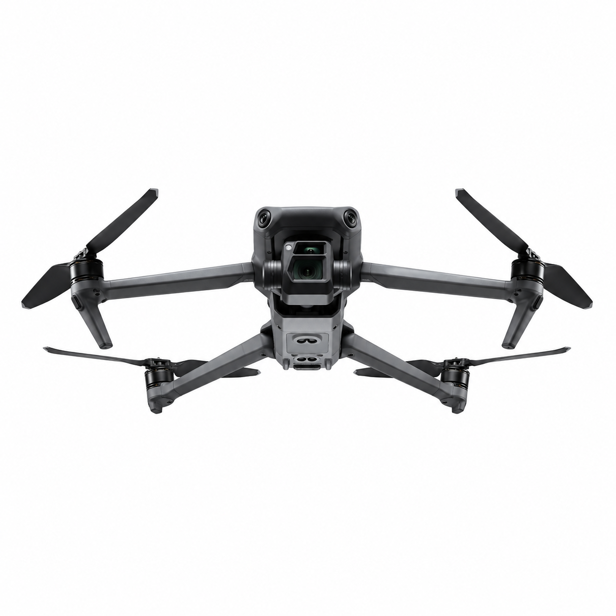
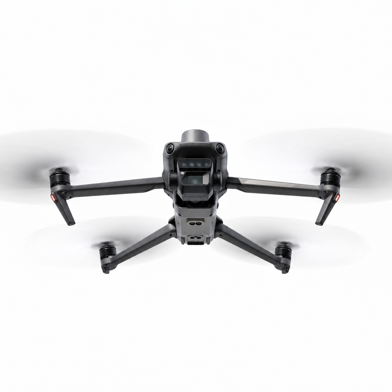
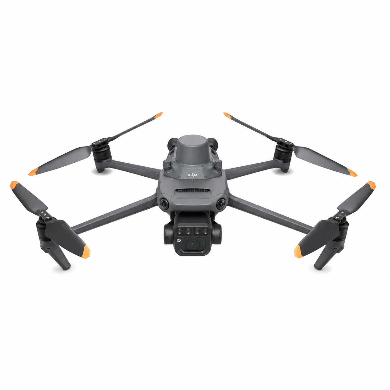
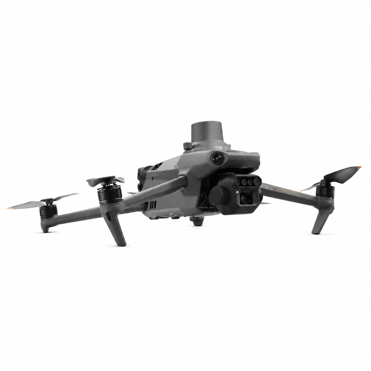
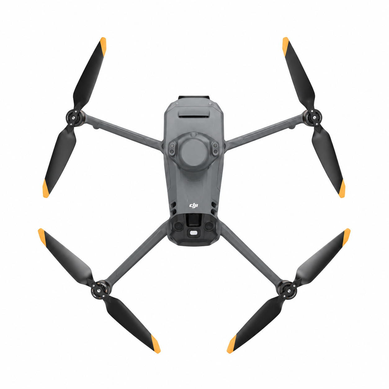
The DJI Mavic 3 Multispectral stands as a groundbreaking tool in the enterprise drone segment, engineered to deliver unmatched precision in aerial data collection. Combining a powerful 20MP 4/3 CMOS RGB camera with advanced multispectral imaging capabilities, this compact yet robust drone empowers professionals to capture both stunning visual detail and critical spectral data in a single flight.
Weighing just 951g with propellers and the RTK module attached, the Mavic 3 Multispectral offers exceptional portability. Its sleek foldable design (223×96.3×122.2 mm folded) makes it easy to transport to remote field locations, while unfolding to 347.5×283×139.6 mm provides stability during demanding operations. With a maximum takeoff weight of 1,050g and impressive wind resistance up to 12 m/s, it performs reliably even in challenging outdoor environments, reaching altitudes up to 6000 meters.
Flight performance is outstanding. Pilots can expect up to 43 minutes of flight time and 37 minutes of stable hovering in calm conditions. The drone supports Normal and Sport modes with maximum speeds of 15 m/s and 21 m/s respectively, giving operators flexibility for both detailed surveying and efficient coverage of large areas. Advanced GNSS support including GPS, Galileo, BeiDou, and GLONASS (with RTK) ensures pinpoint hovering accuracy down to ±0.1m, critical for repeatable data collection missions.
At its heart lies the dual-camera system. The main camera features a 4/3 CMOS sensor with 20MP resolution, 84° FOV, and adjustable aperture from f/2.8 to f/11. It supports 4K video at 30fps and RAW photography, delivering exceptional image quality across various lighting conditions. The integrated multispectral sensors enable precise vegetation index calculations (such as NDVI), early stress detection in crops, soil analysis, and environmental monitoring – transforming raw data into actionable agricultural and ecological insights.
The DJI RC Pro Enterprise controller with O3+ transmission technology provides crystal-clear video feed and responsive control up to 15 km. Built-in safety features, omnidirectional sensing, and intelligent flight modes help ensure secure operations even in complex environments.
Designed for demanding professionals, the Mavic 3 Multispectral excels in precision agriculture for optimizing irrigation and fertilizer use, in forestry for health assessment of large tracts, and in infrastructure projects requiring accurate topographic mapping. Its ability to collect high-resolution RGB and multispectral data simultaneously significantly reduces the need for multiple flights and equipment.
Whether you’re a farmer looking to boost yields, an environmental scientist tracking ecosystem changes, or a surveyor requiring centimeter-level accuracy, the DJI Mavic 3 Multispectral delivers enterprise-grade performance in a remarkably portable package. Invest in the future of aerial intelligence and unlock deeper insights from above with this state-of-the-art multispectral drone solution.
| Specification | Details |
|---|---|
| Net Weight (with propellers and RTK module) | 951 g Maximum takeoff weight: 1,050 g Folded dimensions (without propellers): 223×96.3×122.2 mm Unfolded dimensions (without propellers): 347.5×283×139.6 mm Diagonal length: 380.1 mm Maximum ascent speed in Normal mode: 6 m/s Maximum ascent speed in Sport mode: 8 m/s Maximum descent speed: 6 m/s Maximum flight speed in Normal mode: 15 m/s Maximum forward speed in Sport mode: 21 m/s Maximum sideways speed in Sport mode: 20 m/s Maximum backward speed in Sport mode: 19 m/s Maximum wind resistance: 12 m/s Maximum takeoff altitude: 6000 m above sea level Maximum flight time (no wind): approx. 43 minutes Maximum hover time (no wind): approx. 37 minutes Battery capacity: 5000 mAh LiPo 4S, 15.4 V nominal voltage Remote Controller: DJI RC Pro with O3+ video transmission system Max transmission range: up to 15 km in ideal conditions RC Pro compatibility will expand to more DJI aircraft in future updates |
| Max Takeoff Weight | 1,050 g |
| Dimensions (Unfolded) | 347.5×283×139.6 mm (Length×Width×Height) |
| Diagonal Length | 380.1 mm |
| Hovering Accuracy (Vertical) | ±0.1 m (Vision), ±0.5 m (GNSS), ±0.1 m (D-RTK) |
| Light Sensor | Built-in module |
No customer reviews yet. Be the first to review this product.
We are here to help you with any question.